

I recreated Madrid's Ancient Walls on Google Earth 🌎

The day has come! I’ve been mentioning I was working on this interactive map of the ancient walls of Madrid for a while. And it’s finally here!
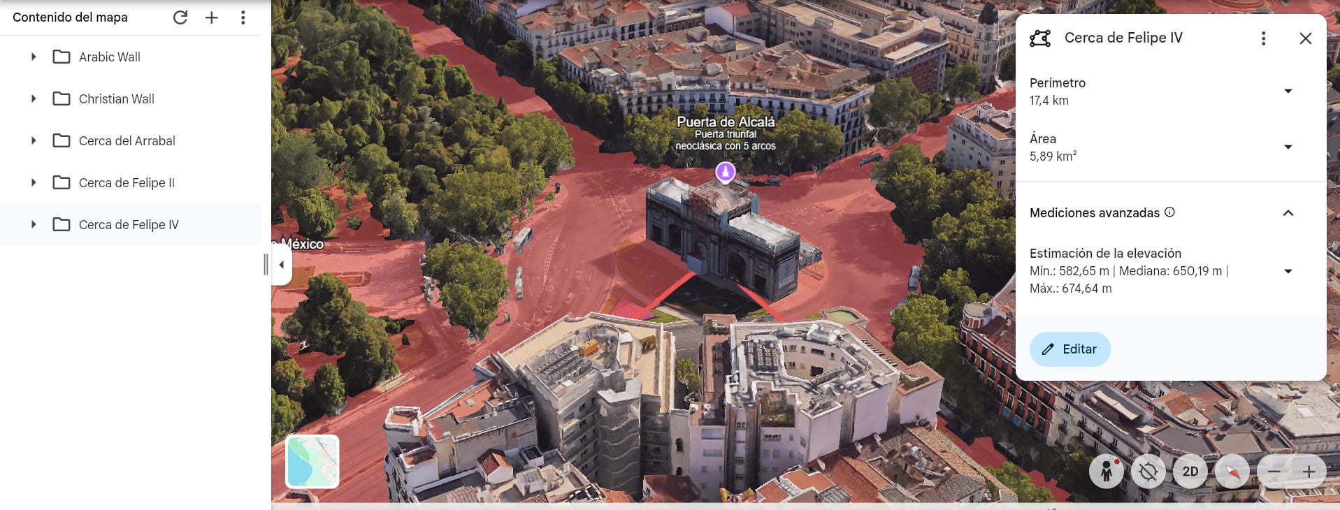
As you can see in the picture below, the different colours mark the trace of the different walls: the Arabic wall from over 1000 years ago, the Christian wall, etc… And even the gates are marked over the current map of Madrid, where you can see which buildings sit over them nowadays!
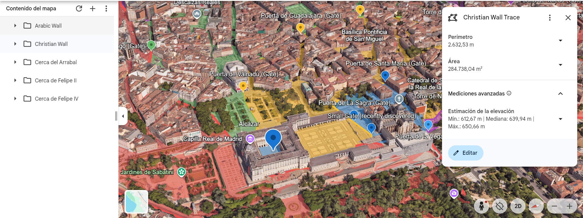
Being this an interactive map on Google Earth, you can get close, and explore. You can isolate each part of the wall, hide the names of the gates, leave only the gates, etc…
How to access the map:
The map is on Google Earth. I created it manually, so you can only access it through my file.
Here’s the link to open the map:
Keep reading with a 7-day free trial
Subscribe to History of Spain to keep reading this post and get 7 days of free access to the full post archives.